


When a Property Line Dispute Survey Is Needed
A fence moves a few feet. A neighbor begins grading near what you believe is your side yard. A title review reveals a gap or overlap between adjoining legal descriptions. In each case, a property line dispute survey provides the reliable boundary evidence needed to replace assumptions with documented facts.
Property disagreements can become expensive quickly. They may delay a sale, construction project, financing, permit, or subdivision approval. More importantly, informal solutions based on a fence line, a stakes-and-string layout, or an old plat can create a larger problem if those features do not match the legal boundary. A professional boundary survey gives property owners, attorneys, title professionals, and neighboring parties a sound basis for the next decision.
What a Property Line Dispute Survey Establishes
A property line dispute survey is a boundary survey performed when the location of a common property line is uncertain, contested, or inconsistent with visible improvements and available records. The surveyor evaluates the legal descriptions, recorded plats, prior surveys, easements, monumentation, occupation lines, and other relevant evidence to determine the best-supported location of the boundary.
The work is not simply a measurement from one fence corner to another. Property boundaries are defined by legal documents and controlling evidence. A surveyor must interpret how the descriptions apply on the ground, identify existing monuments, evaluate whether they are reliable, and reconcile differences among the records when possible.
The final survey may show the boundary line, found or set monuments, encroachments, easements, buildings, fences, drives, retaining walls, utilities, and other improvements that affect the dispute. What appears on the final deliverable depends on the client’s goal and the scope of work. A homeowner concerned about a fence needs different information than an attorney preparing for litigation or a developer evaluating a proposed lot split.
A surveyor establishes and documents boundary evidence. The survey itself does not decide legal ownership, award damages, or force a neighbor to move an improvement. If parties cannot reach an agreement after the facts are established, an attorney or court may be required to resolve the legal dispute.
Why Fence Lines and Online Maps Are Not Enough
Many boundary disputes begin with a reasonable but incorrect assumption: if a fence has been in place for years, it must be on the property line. Sometimes it is. Often, it is not.
Fences may have been installed for convenience, privacy, livestock control, or landscaping without a survey. They can be moved over time, replaced in a slightly different location, or built inside a boundary to avoid construction issues. The same is true of hedges, tree rows, gravel drives, and retaining walls. These features may be evidence of occupation, but they are not automatically legal boundaries.
County GIS maps and consumer mapping tools have a different limitation. They are useful for general reference, but their parcel lines are not intended to locate a boundary for construction, fencing, purchase decisions, or legal conflict. Their apparent precision on a screen can be misleading, particularly in older subdivisions, rural tracts, and areas with irregular legal descriptions.
A recorded plat is valuable evidence, but it may not answer every question by itself. The surveyor must connect the record information to physical evidence on the site and surrounding properties. That is why a boundary determination requires research, fieldwork, professional judgment, and careful documentation.
What the Survey Process Looks Like
The right first step is a consultation focused on the actual issue. Is the concern a proposed fence, an encroaching structure, a purchase, an easement question, a neighbor disagreement, or pending legal action? Defining that goal helps establish the appropriate scope and prevents paying for a deliverable that does not answer the practical question.
Research Comes Before Fieldwork
A surveyor typically begins by reviewing the current deed, adjoining deeds when needed, subdivision plats, prior surveys, recorded easements, right-of-way information, and other available public records. Older properties can require additional research because descriptions may reference former owners, historic roads, calls that no longer match current conditions, or monuments that have been disturbed or lost.
In Missouri, the age and development history of a property can materially affect the complexity of this work. A lot in a recorded subdivision may have a different evidence trail than a larger tract created through successive conveyances. The needed effort depends on the records and conditions, not simply the property’s acreage.
Field Evidence Is Located and Evaluated
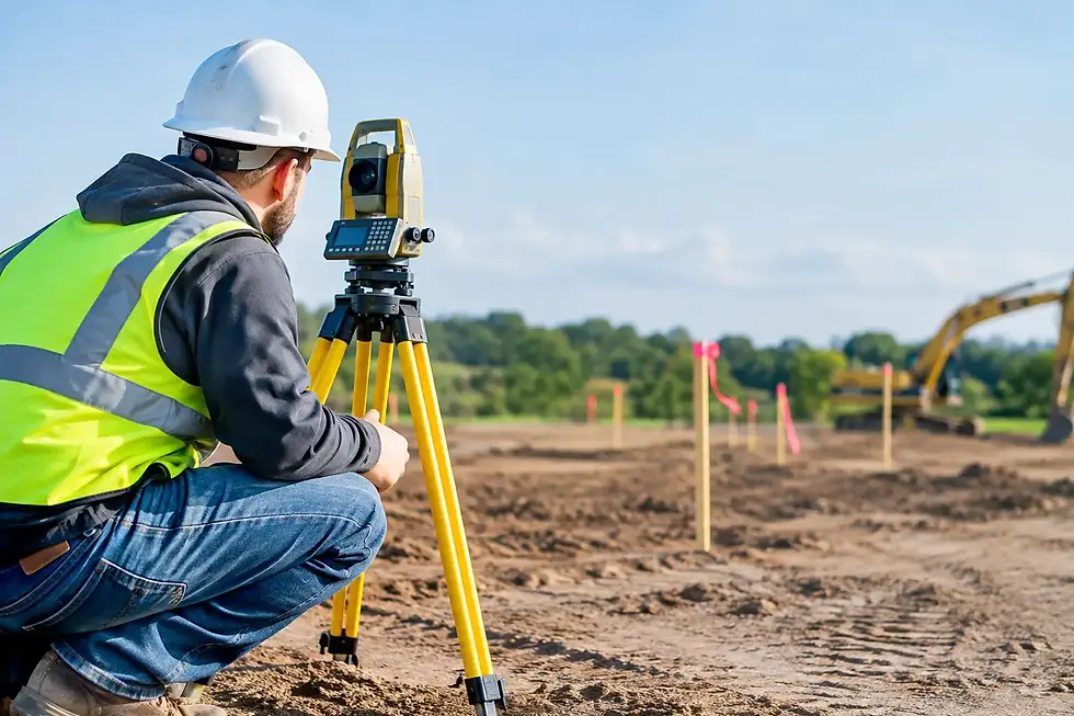
During fieldwork, the survey crew searches for property corners and other controlling monuments. These may include iron pins, pipes, stones, concrete markers, capped rods, and other survey evidence. The crew also locates relevant improvements and apparent occupation lines, such as fences, walls, driveways, or buildings.
Current surveying technology improves efficiency and precision, but technology does not eliminate the need for professional analysis. A GPS receiver or robotic instrument can accurately measure a point. Determining whether that point represents the correct legal corner requires the surveyor to evaluate the evidence and applicable surveying principles.
The Boundary Is Reconciled and Documented
The surveyor compares field measurements with the record evidence and adjacent boundary information. If the evidence aligns, the boundary can often be established directly. If it does not, the surveyor must resolve the conflict using accepted boundary surveying methods and the relative weight of the available evidence.
This process may reveal that a fence is inside one owner’s property, that a building encroaches across a line, or that a deed description needs further legal review. Those findings can be uncomfortable, but clear information is far less costly than proceeding with a project based on an assumption.
Documents That Help Move the Work Forward
Clients do not need to solve the boundary question before contacting a surveyor. However, providing available documents can reduce research time and help the surveyor understand the history of the issue. Useful items include:
The current deed and title commitment, if available
Prior surveys, plats, or improvement location reports
Documentation of recorded easements or right-of-way agreements
Photos showing existing markers, fences, or disputed improvements
Correspondence that identifies the specific area of disagreement
Do not remove stakes, pins, pipes, or other possible corner evidence before the survey is completed. Even when a marker appears to be in the wrong place, it may provide information that helps explain the property’s survey history.
How Survey Results Can Help Resolve the Dispute
In many situations, a clearly prepared survey changes the conversation. Neighbors who have been relying on conflicting assumptions can see where the recorded boundary and physical improvements are located. That may lead to a practical resolution, such as relocating a fence, revising a construction plan, negotiating an easement, or addressing an encroachment before closing a transaction.
The result is not always immediate agreement. A neighbor may have a competing survey, a different interpretation of the evidence, or a claim that requires legal analysis. When litigation is already underway, the survey may be used by counsel as factual support, and expert testimony may be appropriate. The surveyor’s role is to provide objective, technically supported boundary evidence, not to advocate for one party’s preferred outcome.
For commercial sites and development projects, timing matters. A disputed line can affect setbacks, parking, stormwater improvements, utility routes, access, and the usable area of a parcel. Resolving the boundary before final design or construction staking protects the project schedule and reduces the risk of field changes.
Choosing the Right Scope for the Situation
Not every property concern requires the same survey service. A basic boundary survey may be sufficient when a homeowner wants to place a fence or confirm corners. A dispute involving an existing structure, conflicting legal descriptions, access rights, or anticipated litigation may require more extensive research, improvement location work, easement analysis, or expert support.
Cost and turnaround depend on the complexity of the records, site access, terrain, available monuments, adjacent parcel history, and the level of detail required. A low quote that overlooks deed research or adjoining evidence may not provide a defensible answer. The better value is a scope matched to the decision at hand.
Meridian Land Surveying begins with the client’s objective, then applies established methods and current technology to provide accurate, reliable boundary information. For owners and professionals in the St. Louis and St. Charles region, early survey involvement can prevent a manageable line question from becoming a delayed closing, a construction conflict, or a costly legal matter.
When a property line is in question, avoid guessing, building, or negotiating from an unverified map. Obtain the facts first. A well-supported survey gives every party a clearer place to begin.


Comments